Work category:Planning Browse:2027
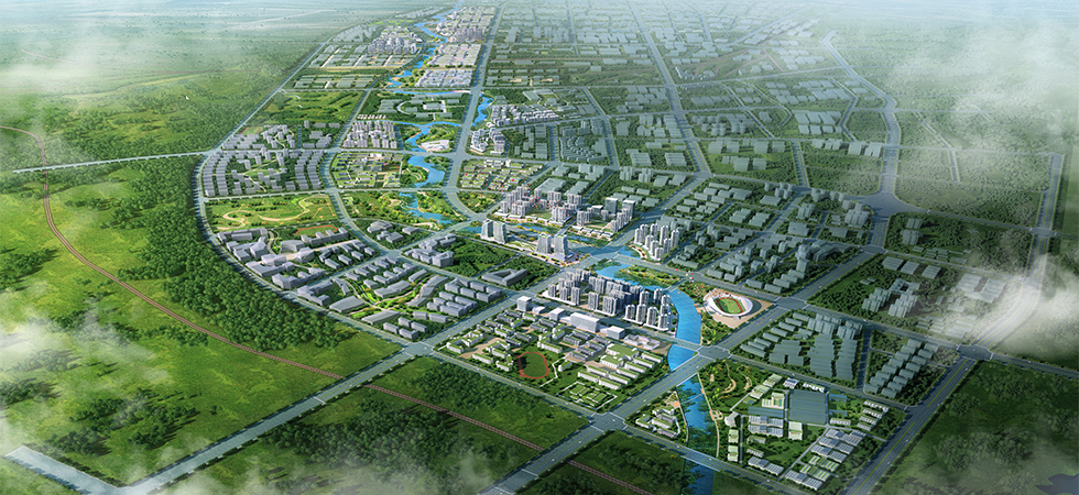
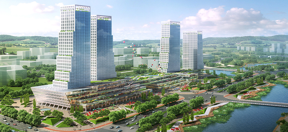
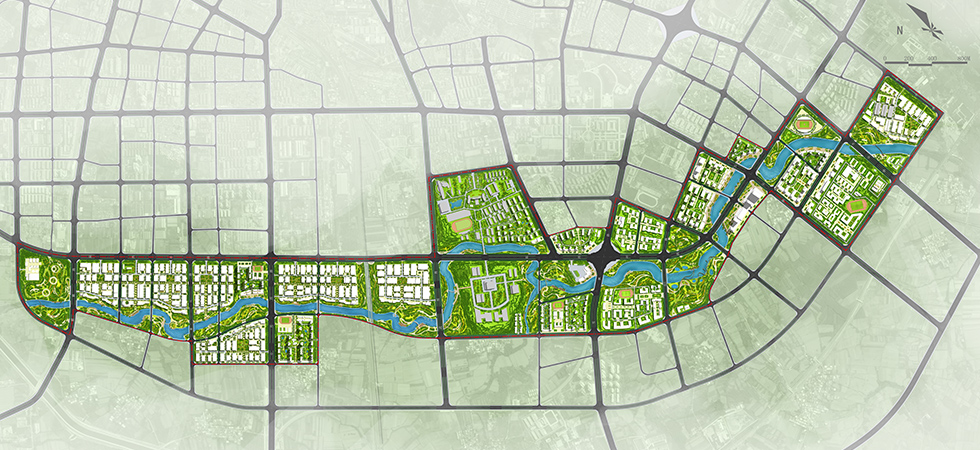
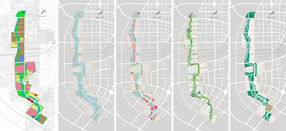
The Shierli River originates from Zishan Mountain, conserves water by Lanying Reservoir in the middle-upper reaches, flows into the Baihe River in Panying of Wolong District and has a total length of about 14.5 km. The planning area reaches the West Waihuan Road in the north, the Binhe Road in the south, and the regions one block away from each side of the blue line of the riverway in the east and west respectively, has a length of about 12.3 km and covers a total land area of about 6.6 km2. The surrounding area of the river is mainly land for industrial and educational use. Presenting science and education with the science & technology as well as culture & education represented by Science Sage Zhangheng and echoing the natural waterfront landscape with metasequoia and lotus, the planning aims to highlight the beauty of science and technology in Nanyang and build the Shierli River into a river of science and education. The planning area is divided into the south and the north regions by Wuhou Road. The north region is the technological industrial district mainly including industrial land and will build Hunyi Water Park and Innovation & Imagination Park on the waterfront. The south region is the educational and cultural district mainly including land used for education, and will build Wengu Park, Memorial Gardens of Zhangheng and Natural Exploration Park on the waterfront.


 原创先锋
原创先锋